Products & services
Measured earth observation data for United States parcels, the analysis we run on request, and the software we build for teams that run it themselves.
Data product — United States
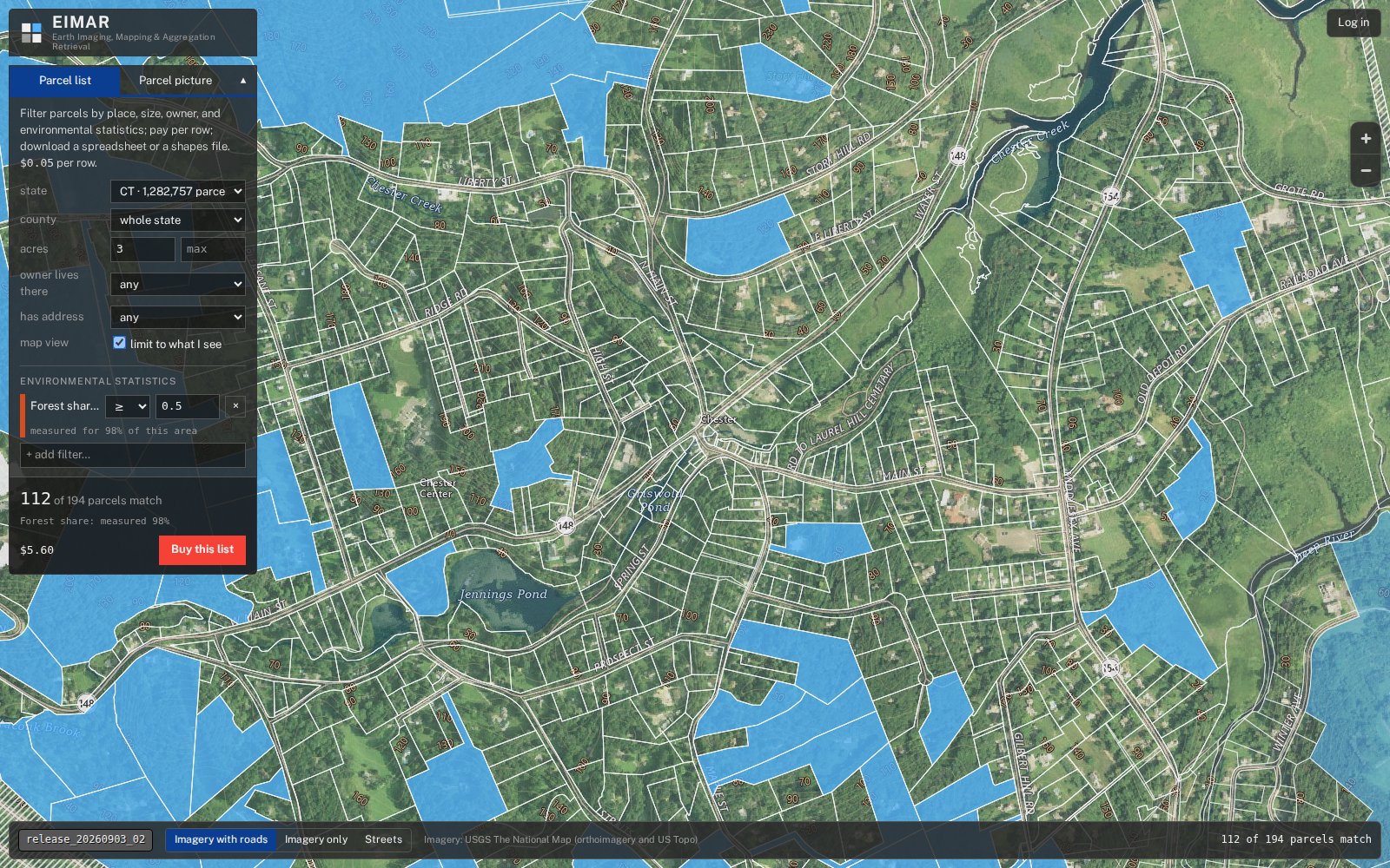
Earth Observation Parcel Data (EIMAR App)
EIMAR measures every parcel against satellite, lidar and government survey data. You get one row per parcel and one column per measurement: land cover, forest, crops, soil, water, flood and storm hazard, wildfire, solar and climate.
Use it as queries, lists, a map service or finished parcel maps. Available now for Connecticut, Maryland and Wisconsin, with more states in production.
Parcel maps
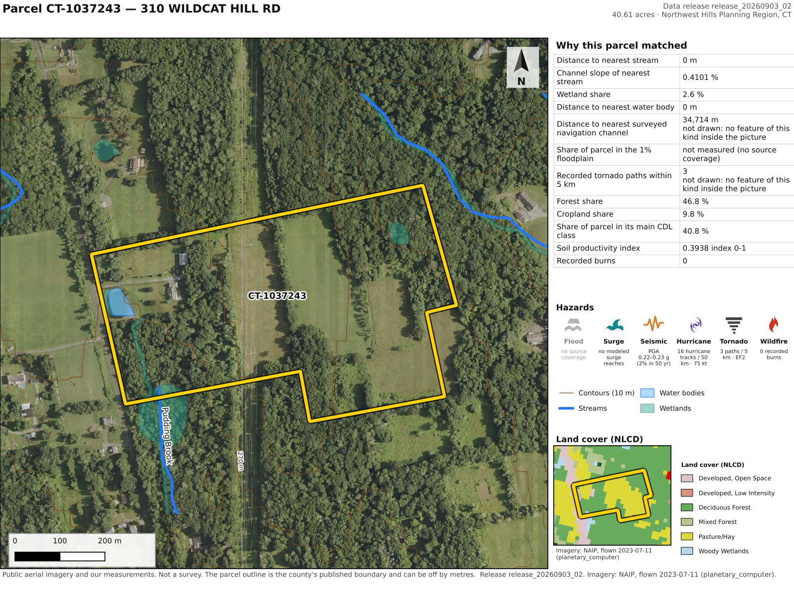
What one parcel looks like
A single Connecticut parcel with its measured values, drawn over aerial imagery.
On-demand service
Suitability Analysis
A service, not a dataset. Tell us what you need on the ground — flat, sunny land for a solar array, timber worth a cruise, a site clear of flood and fire — and we run the analysis against the parcel data.
You get back a ranked list of parcels, their boundaries, and a plain account of how they were chosen.
- Built around your criteria
- Based on measured values only
- Delivered with the method and its limits
- Re-run any time your criteria change
Engineering service
Geospatial Software
The engineering behind EIMAR is available on its own. We build data pipelines, PostGIS databases, APIs and internal tools for teams that manage spatial data themselves.
- Ingest for raster, lidar and vector data
- PostGIS database design and deployment
- REST APIs
- Data quality and coverage reporting
- Delivery into your database, cloud storage or existing tools