Products & services
Precision data feeds and managed integration services for investors, legal teams, government agencies, engineers, and researchers.
Data feed — select states
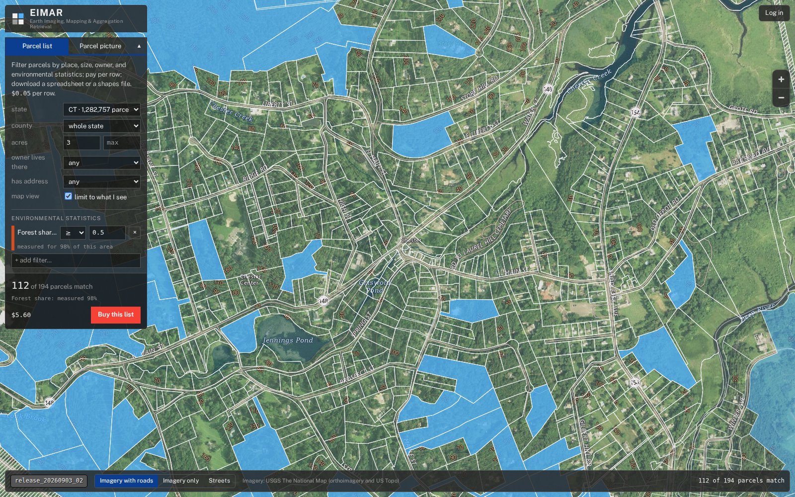
Foreclosure Property Data
End-to-end monitoring of every foreclosure lifecycle event—from scheduled auction through final result, post-sale surplus, and case disposition. Every case enriched with AVM, estimated loan balance, and owner contact details.
- Full lifecycle tracking: cancellations, postponements, sales, and surplus events
- Up to 60 days advance notice before auction; select counties track from complaint filing—6–9 months ahead
- AVM, loan balance estimate, and owner contact details on every case
- Delivered via REST API, CRM push, or managed database delivery
GIS dataset
Historical Building Footprints
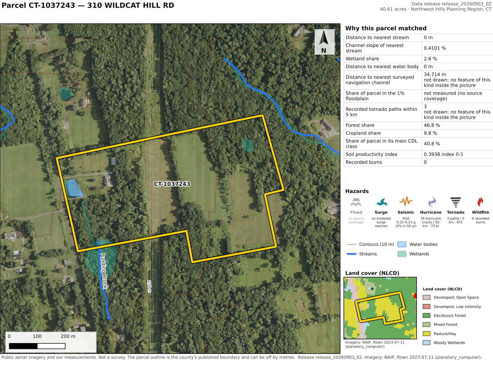
Georeferenced historical building footprints that supports risk assessment, urban planning, environmental review, and investment due diligence workflows. Each structure is dated to its construction or earliest documented appearance, enabling temporal analysis of the built environment.
Coverage includes historical cadastral and topographic sources across multiple countries, normalized to consistent geometry and attribute schemas for direct GIS integration.
Coverage
Geocoding & place intelligence
Place Names & Geocoding
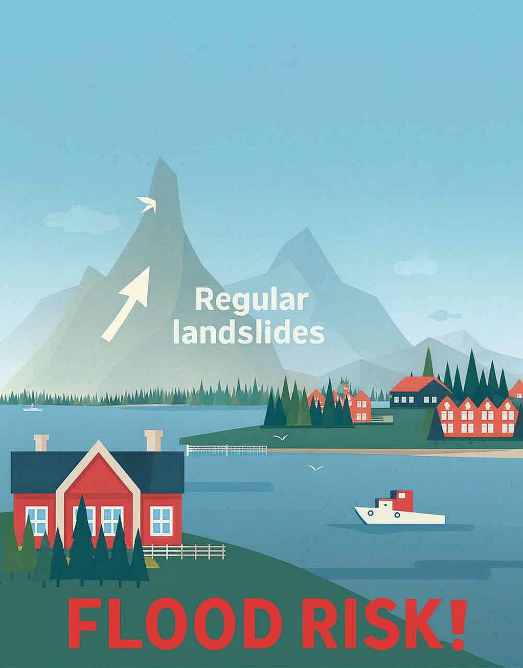
Ikonen maintains a large proprietary database of named places and geographic features, built from curated gazetteer and government sources and reinforced by LULC satellite classification for unambiguous land-cover context. Coverage extends back in time for historical geocoding use cases.
- Reinforced by LULC satellite classification
- Curated gazetteer and government sources—not crowd-sourced or heuristic-matched
- Provenance tracking on every record: source, confidence, and acquisition date
Managed pipeline & professional service
DEM Generation
Normal™ by Ikonen is a production-grade DEM generation engine, available either as a deployed pipeline for clients with access to L0 sensor data or engaged as a professional service. From raw point cloud ingestion through noise filtering and surface correction to tiled Cloud-Optimized GeoTIFF delivery, we configure, validate, and maintain the full stack.
Airborne LiDAR, UAS photogrammetry, and spaceborne altimetry are all supported. Derivative products include slope, aspect, hillshade, and watershed delineation layers with embedded spatial reference and vertical datum metadata.
Managed pipeline & professional service
SAR Pipelines
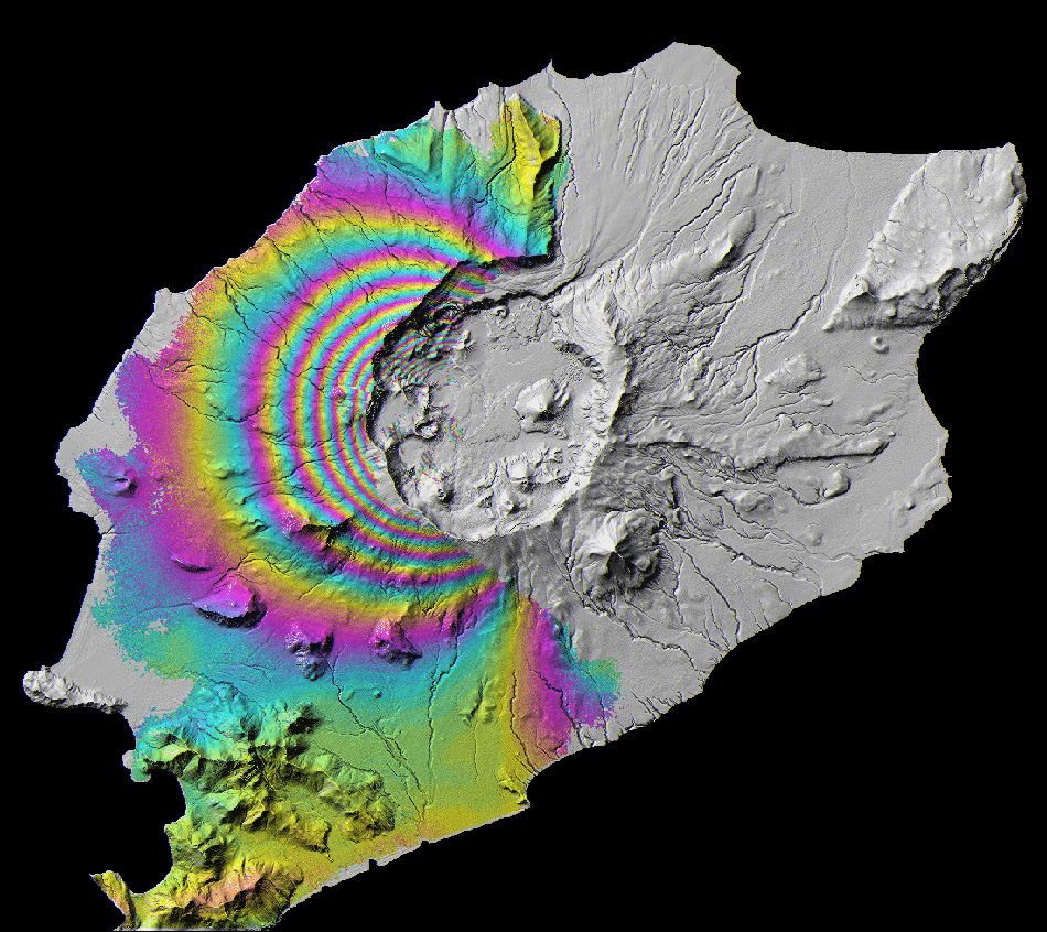
Normal™ by Ikonen powers automated, production-grade SAR processing—from raw sensor acquisition through radiometric correction, geometric registration, and speckle filtering to analysis-ready deliverables. Available as a deployed pipeline or an engagement-based professional service.
Delivered products include calibrated backscatter imagery, coherence maps for change detection, and terrain-corrected outputs suitable for direct GIS integration. All products carry standardized metadata: acquisition date, sensor, polarization mode, orbit direction, and processing provenance.
Managed integration service
CRM & API Integration
End-to-end managed integration connecting Ikonen data feeds to your CRM or internal database—schema mapping, pipeline build, and ongoing maintenance included. Or connect directly via the REST API with scoped keys, consistent schemas, and full developer documentation.
- GoHighLevel, Monday.com, Salesforce, HubSpot, Airtable
- Custom REST endpoint delivery
- Scoped API keys with role-based access
- Suitable for internal tooling, client-facing products, and analytics pipelines