
Government access
State and local government agencies get EIMAR under a contract instead of a card subscription. Access, delivery and terms are agreed in writing.
What an agency receives
EIMAR measures each parcel against satellite, lidar and government survey data and reports the result as one row per parcel.
-
Web map accounts
Accounts for the staff you name, with filters, parcel lists and map images in every published state.
-
Parcel lists
CSV or GeoJSON files with the parcel ID, situs address, acreage and land use, the owner name and mailing address where the county’s licence allows them, and every earth observation measurement with its coverage flag.
-
Map images
For a single parcel: a 1600 × 1200 PNG map over aerial imagery and a PDF profile of its measured values.
-
Updates
Data published during the contract term, including updated values and newly added attributes.
Integration with your systems
- Desktop GIS. GeoJSON files open directly in ArcGIS Pro and QGIS.
- Your parcel records. Each row carries the county parcel ID and the situs address, so the measurements can be joined to your own parcel layer or assessment records.
- Databases. CSV and GeoJSON load into PostgreSQL with PostGIS, SQL Server and Oracle with standard tools such as GDAL’s ogr2ogr.
- Agency applications. Showing EIMAR data inside an internal or public application is permitted under a written agreement.
- Custom delivery. Other file formats, a whole-jurisdiction file and a fixed update schedule can be written into the contract.
Common uses
-
Flood and stormwater review
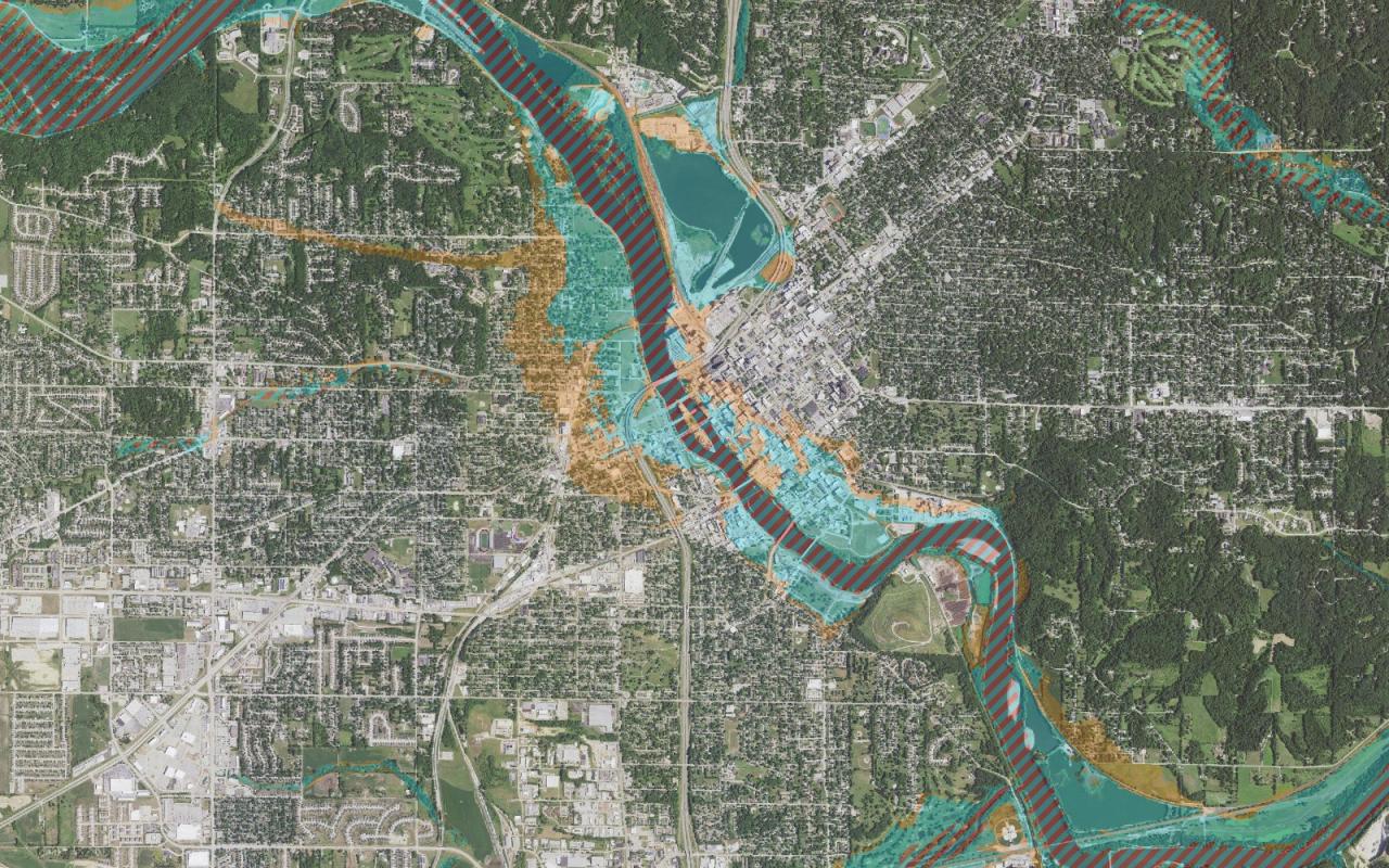
Parcels by FEMA flood zone and base flood elevation, wetland share, distance to streams and depth to the water table.
-
Wildfire and hazard screening
Parcels by wildfire hazard, burn history, hurricane and storm surge exposure, earthquake shaking and ground failure.
-
Conservation and land acquisition
Parcels by forest cover, canopy height, carbon, wetland and vegetation loss.
-
Agricultural land and siting
Parcels by crop type, soil capability and farmland class, and solar radiation.
Every measurement is described in the data catalog.
Consultants working for government
A firm with a state subscription may include EIMAR data in reports, maps, plans and model outputs it delivers to a government client. A table of records inside a deliverable may hold at most 1,000 records. See pricing.
How to start
- Write to support@ikonengeospatial.com with your agency, the area you need and how the data will be used.
- We send a sample over your area.
- We agree the contract: area, number of accounts, delivery formats, update schedule and term.
- We set up access for the staff you name.
Contact us about government access
Email support@ikonengeospatial.com or call +1 513-722-6632, Monday to Friday, 9:00 to 17:00 UTC.
Email support Open the web map