
Parcel Data
The record every row carries, from the official parcel layer of each state and county.
Parcel record
- ResolutionVector polygons, source scale
- Measured overThe parcel boundary
- Time windowCurrent assessment roll
- UpdatedPer county, as the roll is published
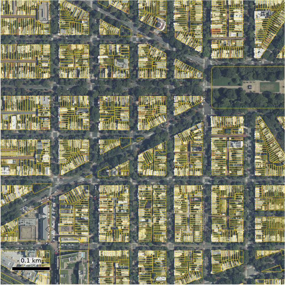
The parcel as the state or county records it: boundary, owner of record, property address, mailing address, land use code and area. Boundaries are loaded from the official published layer without being redrawn. Attributes are joined on the publisher's own parcel key, never by position. Area is computed from the boundary in an equal-area projection.
States and territories
25,115,120 parcels in 8 states and territories: CT 1,320,660 · DC 137,400 · FL 10,831,923 · MA 2,559,319 · MD 2,288,646 · MT 921,301 · NJ 3,481,240 · WI 3,574,631.
Fields
| Field | Unit | Description |
|---|---|---|
situs_address | The property address as the source publishes it. | |
mail_address | The address the owner's tax bill goes to. | |
owner_name | The owner of record as the source publishes it. | |
acres | acres | Parcel area, computed from the parcel's shape in an equal-area projection. |
owner_occupied | True when the owner's mailing street line and the property's street line are the same. | |
has_situs_address | True when the source published a property (situs) address for the parcel. | |
land_use_code | The county's own land use or property class code. | |
land_use_category | That code mapped to residential, agricultural, vacant, commercial, industrial, public or other. | |
parcel_id | The county's parcel number, normalised for searching. | |
parcel_id_town | The town the parcel number belongs to, in states that number parcels by town. |
Delivery
The same columns in three shapes. A statistic travels with its measured flag, and an unmeasured value is empty, never zero.
| Format | Description |
|---|---|
| GeoJSON | Parcel boundaries with every column. |
| CSV | Every column without the geometry. |
| Map service | Vector tiles for a GIS or a web map. |
Built from the field dictionary of the live data release,
release_20260929_01. Coverage figures are read from that release when the page
loads.