
Transform decades of "dark" geographic data into actionable intelligence
Explore the Story ↓A foreign government sends you tens of thousands of municipal flood data records from 1960-1970.
There is clearly enough data to vastly improve the risk profile of several present-day geographic places.
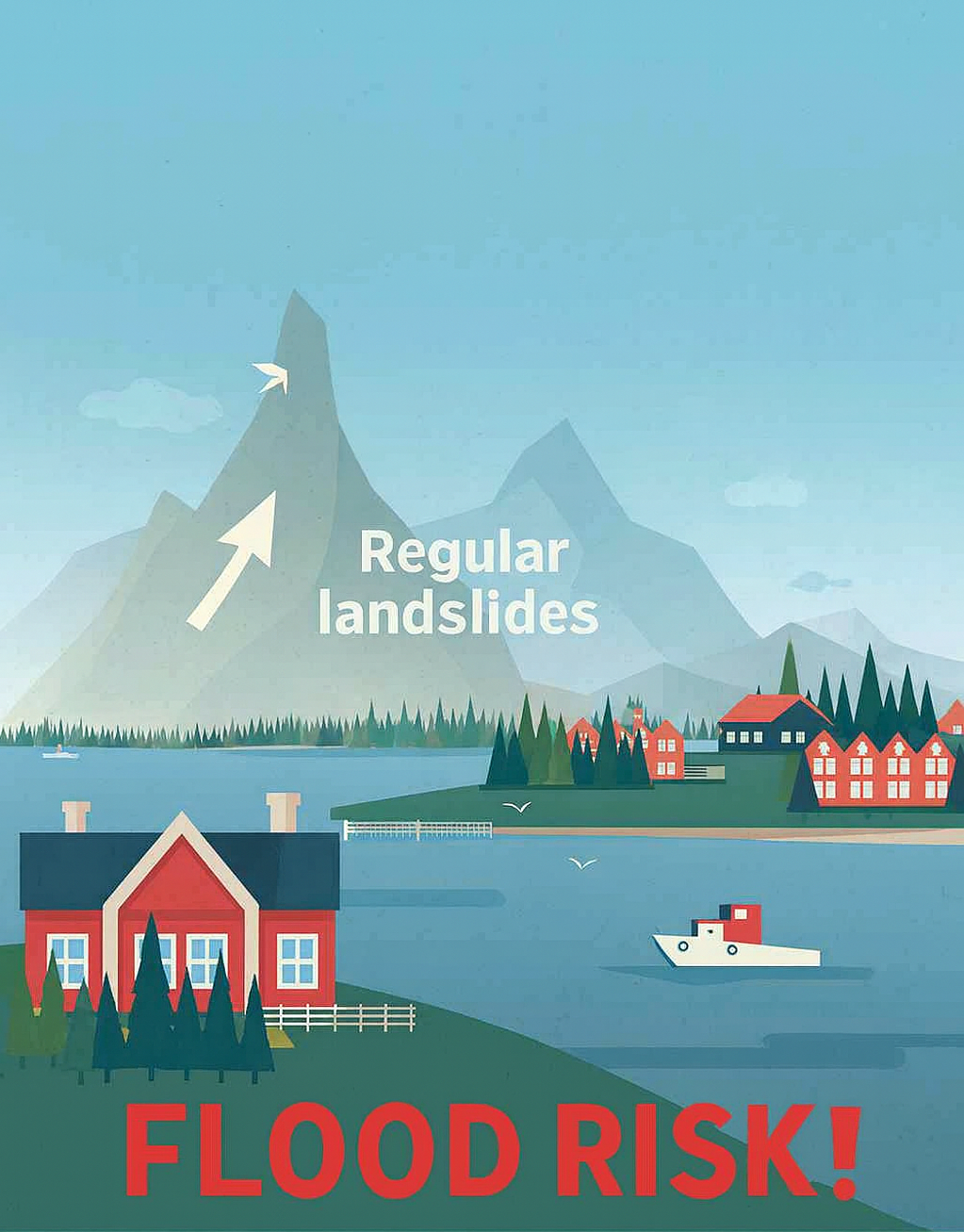
The data is perfect for a real-estate developer assessing the risk of building in a small, coastal town.
This is valuable, historic data.
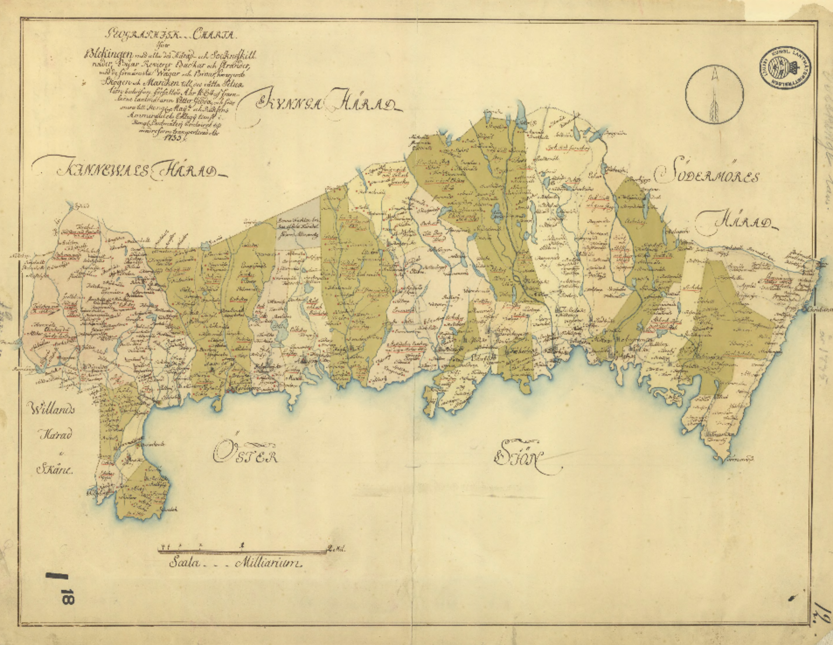
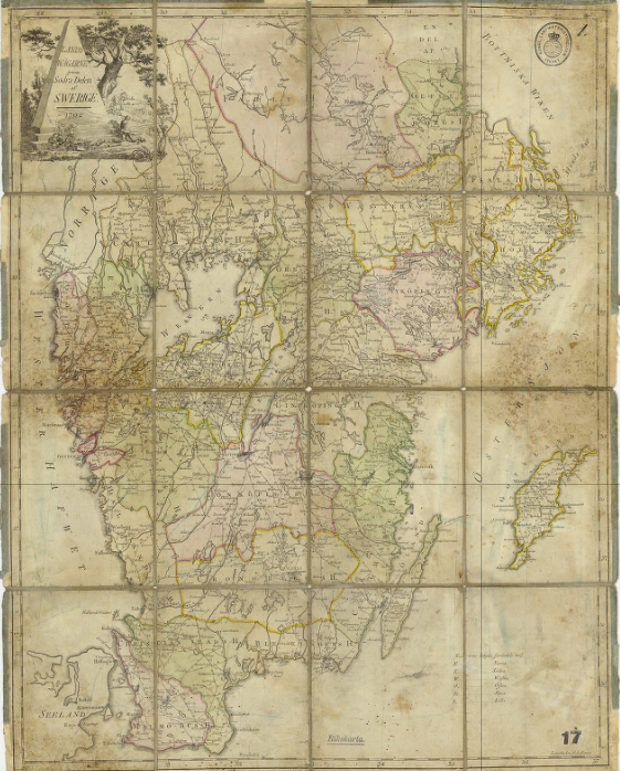
The data was gathered at the municipal level 20 years ago, and most of these municipalities no longer exist after several land reforms.
The flood data is massively impactful for risk assessment, but without proper geocoding, it's practically valueless.
It can't be tied to a present-day location on Earth's surface. Not yet...
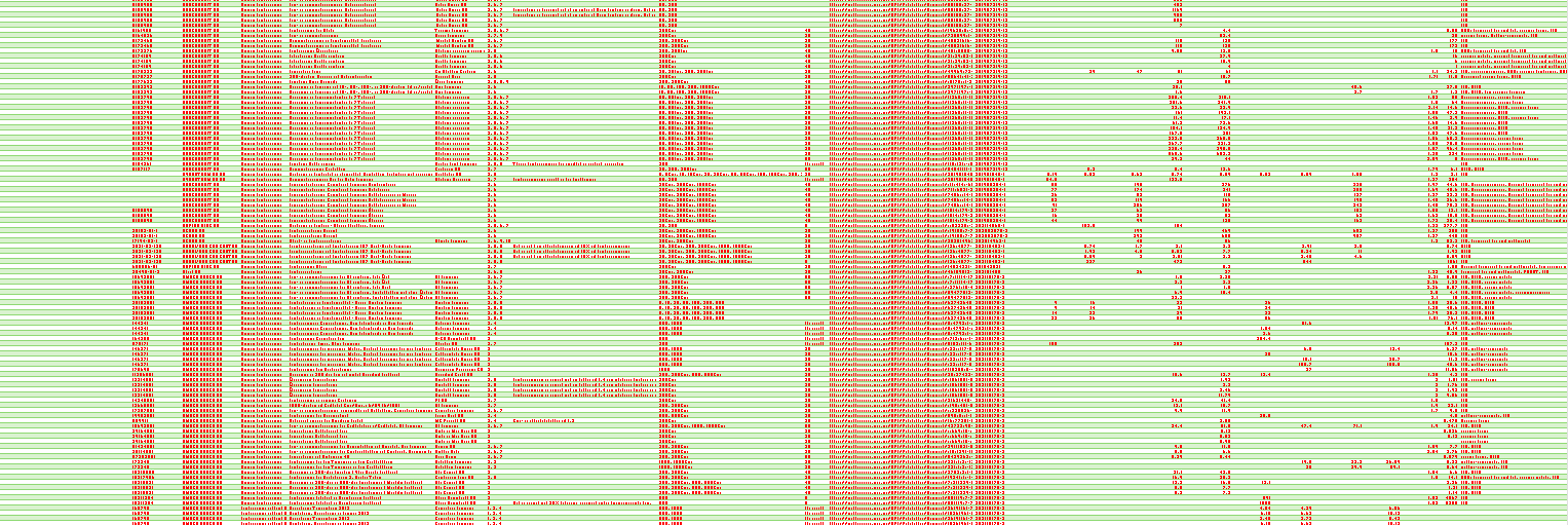
This isn't a small issue. When a foreign government sends you 500,000 rows of historical location data, the problem multiplies.
500,000 rows ×
10+ possible matches per record ×
Months of research per dataset =
Huge expense!
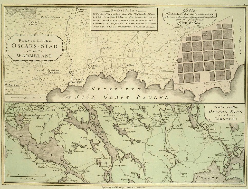
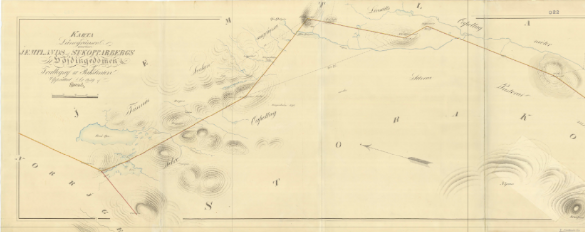
Furthermore, boundaries are changing over time constantly. You could receive data from last year for a municipality that is extinct, or for a city that is now in a different municipality.
Trying to geocode historical places as a batch operation is vital — and only possible with the right historical GIS datasets.

Ikonen solves this problem instantly. We have geocoded hundreds of years of history with daily resolution, allowing companies to permanently relate extinct or changed historical entities to current geographic locations.
We transform historical place records:
↓ Ikonen GEOCODING ↓
With our data, this transformation happens instantly and automatically across all 500,000 records.

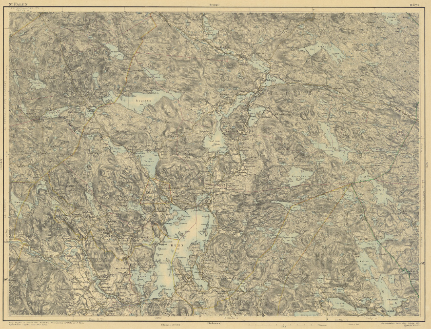
The historic record was instantly tied to the present-day town of Falun in Dalarnas County at the precise coordinates.
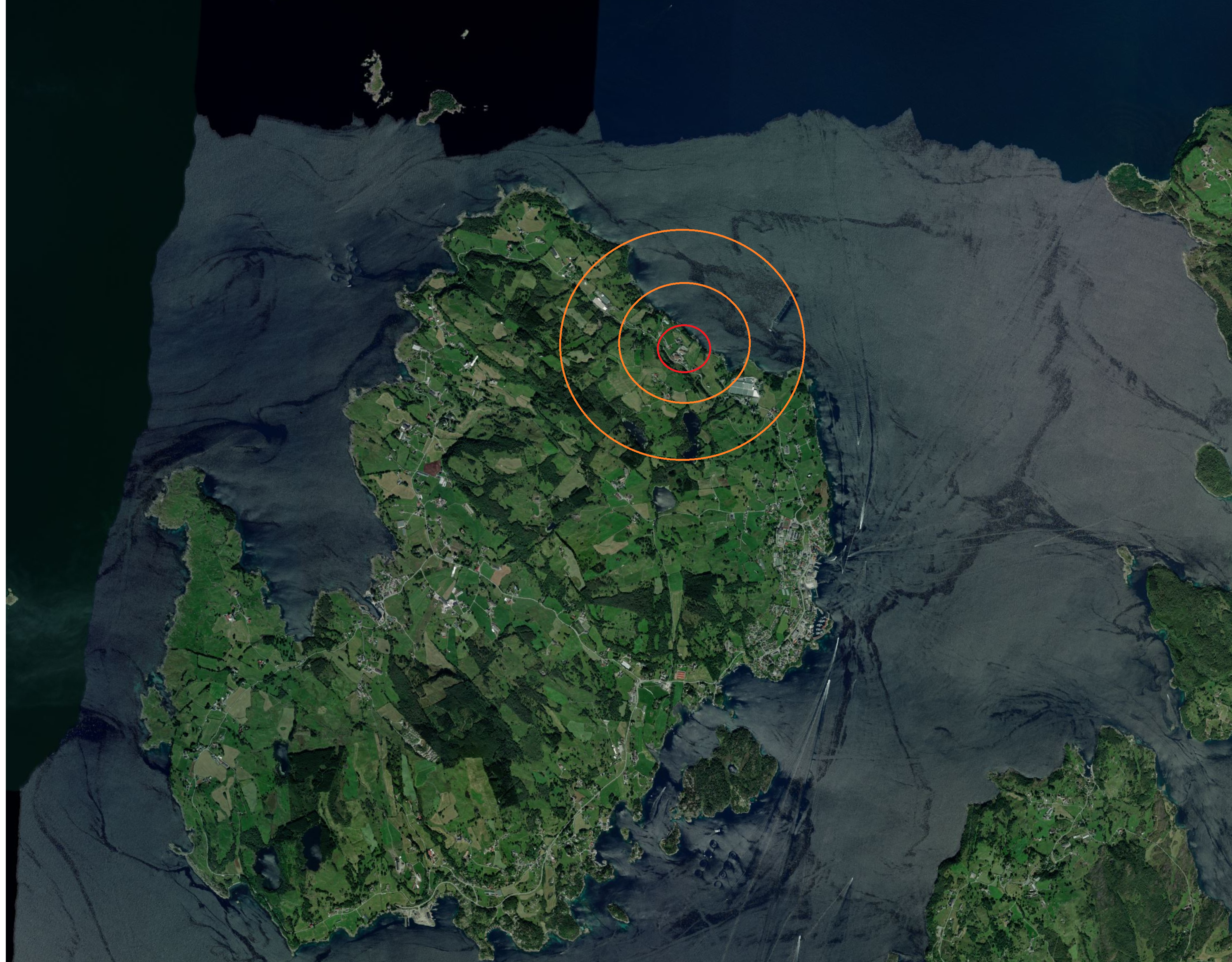
What was once an unmappable data point is now an actionable geographic reference that can be used for risk assessment, property valuation, and strategic planning.
Your entire historical data set now has present-day locations. Every single record has been geocoded, verified, and integrated into modern geographic frameworks.
What was previously worthless "dark data" is now ready for analysis, integration, and decision-making.
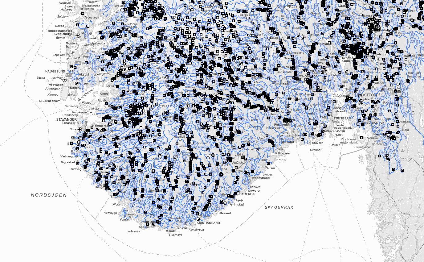
Hydrology layer. © Ikonen | Distributed in accordance with the Ikonen Data License. All rights reserved.
From properly geocoded historical data, you can now generate derivative products: risk maps, caution zones, probability models, and forecasts.
Your data becomes a foundation for decision-making across real estate, insurance, infrastructure planning, and climate adaptation.
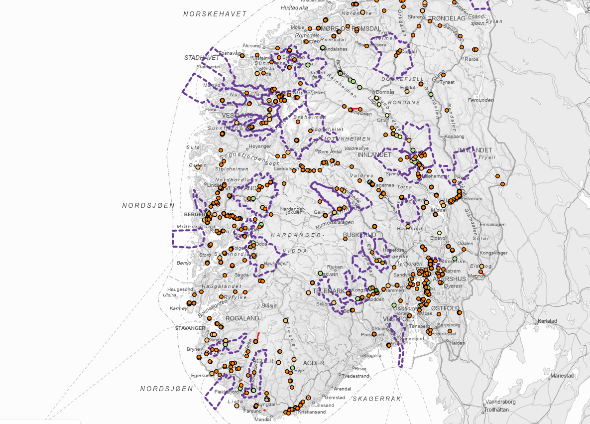
Flood caution zone layer. © Ikonen | Distributed in accordance with the Ikonen Data License. All rights reserved.
500,000 rows of unmapped data
10+ possible locations per record
Months of manual geographic research
Constant validation failures
Data is worthless for risk assessment
Instantly geocoded to modern locations
Single, precise geographic match
Automated batch processing
Permanent historical relationships
Ready for analysis and integration