
Historical records reference places that no longer exist. We bridge the gap between the past and the present map.
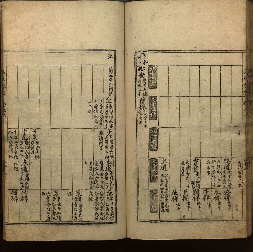
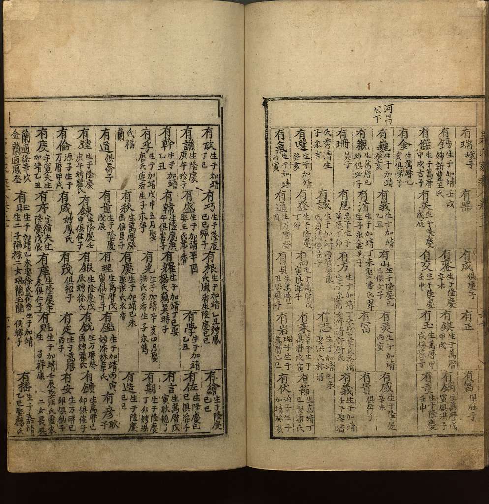
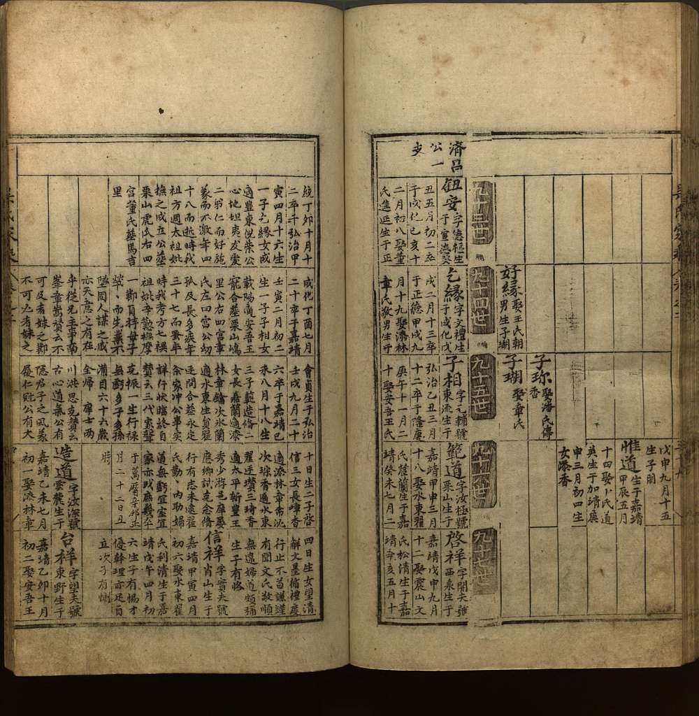
Explore the Story ↓Your platform holds millions of historical records—clan genealogies (族谱), local gazetteers (地方志), household registers, imperial examination records, and land deeds—spanning dynasties and centuries of Chinese history.
Each record contains a place of origin: the county, prefecture, or province where an ancestor was born, lived, or was buried.
These place references are the critical link that connects a name on a page to a real location on a map—the place a descendant can visit, research, or connect with.
Location is the backbone of genealogical research.
A genealogy record from Qing-era China references a county under an imperial prefecture. By 1912, those same boundaries had been redrawn under the Republic of China. After 1949, the People's Republic reorganized them again. Today, many of those prefectures and counties have been renamed, merged, or abolished entirely.
The place name in the record is real, but it can't be found on any modern map.
Your users search for an ancestral village, and your platform returns nothing—because the administrative context no longer exists.
Administrative boundaries shift constantly. A village that exists in your records may have belonged to completely different jurisdictions across time.
Village recorded under a Qing Dynasty prefecture (府) within a province (省). Clan genealogies reference the imperial administrative system.
Fall of the Qing Dynasty. The Republic of China abolishes prefectures and reorganizes provinces. County boundaries are redrawn.
The People's Republic of China is established. Entirely new administrative regions, prefectures, and counties are created.
Multiple rounds of county mergers, splits, and renames. Hundreds of historical county names disappear from official use.
The “city-leading-county” (市管县) reform converts prefectures into prefecture-level cities. Administrative names change at every level.
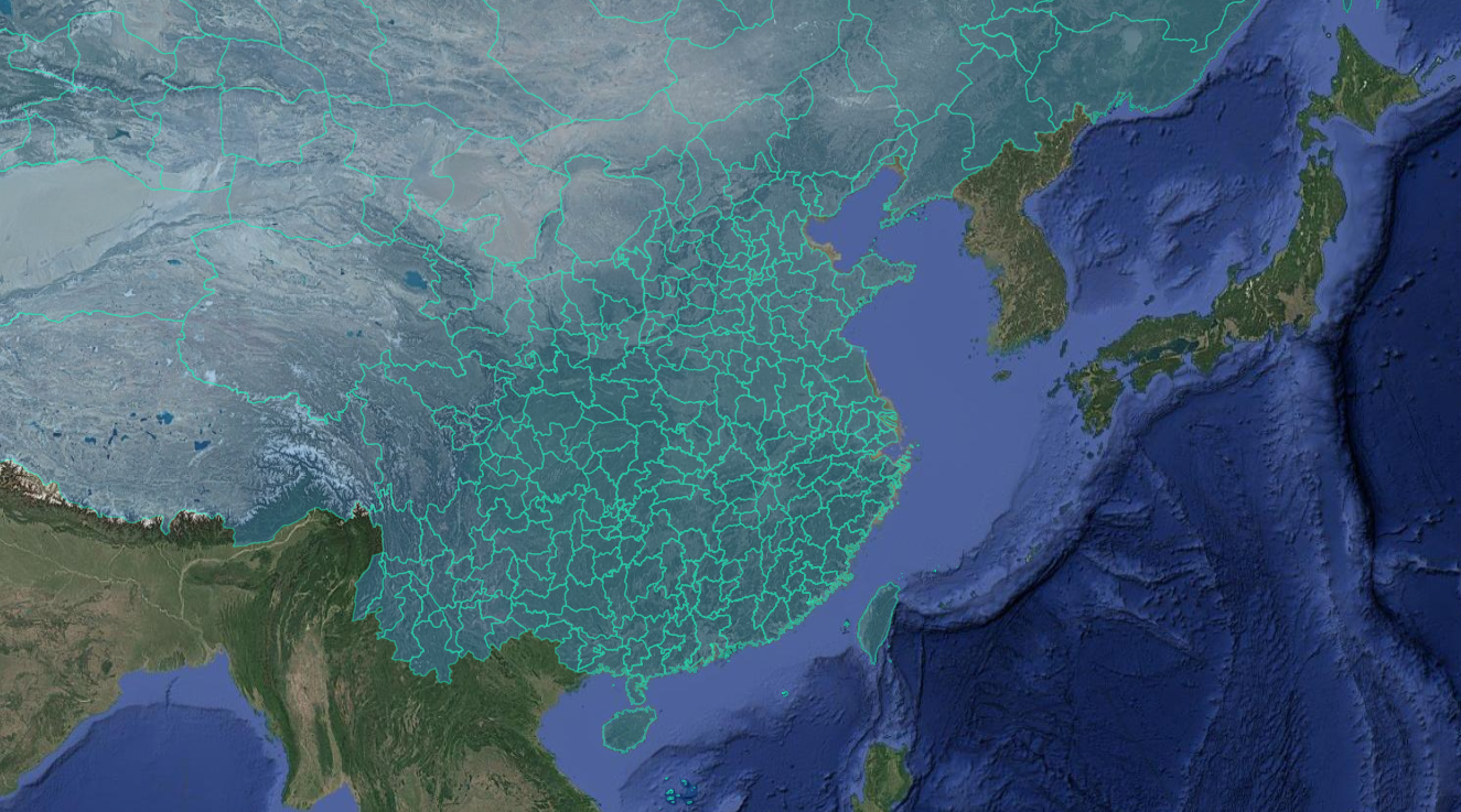
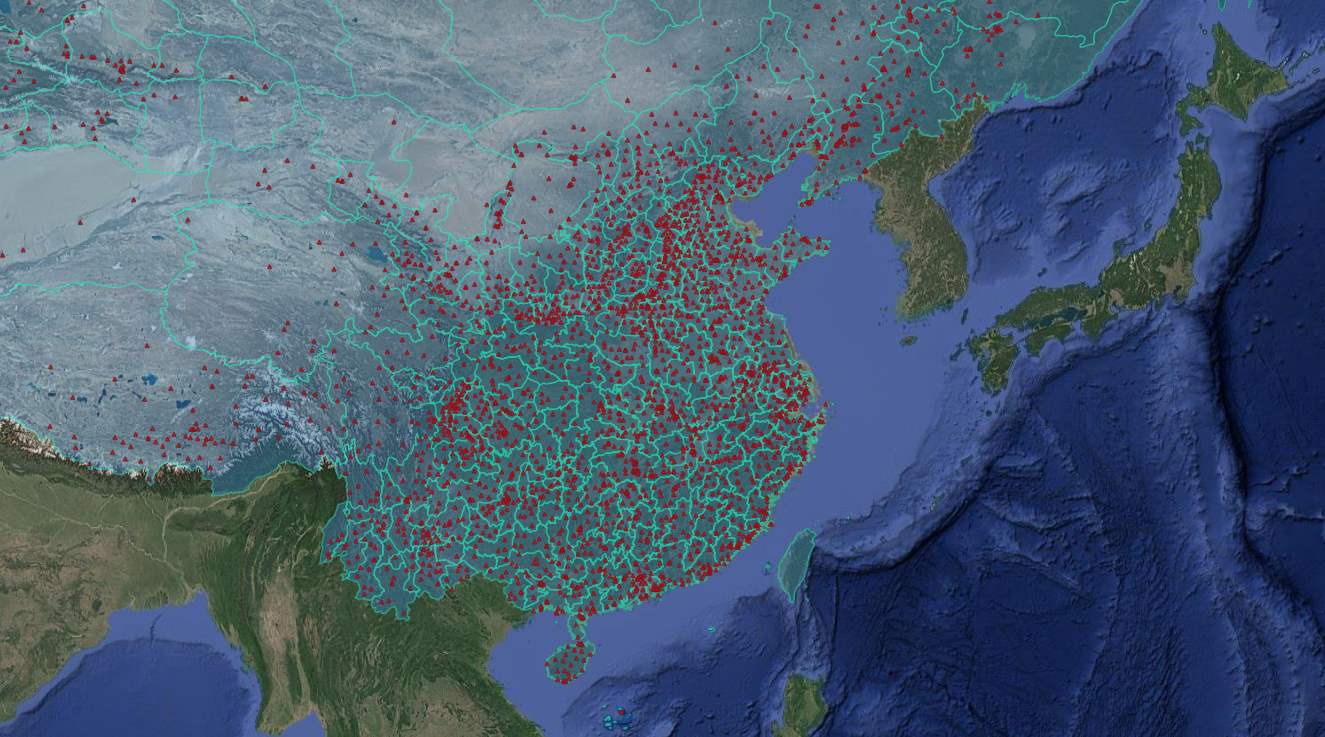
China alone has experienced centuries of continuous administrative reorganization—from imperial prefectures and counties to modern provinces and prefecture-level cities. Genealogy platforms holding Chinese records face an immense mapping problem.
Millions of records ×
Centuries of boundary changes ×
Thousands of counties and prefectures ×
Multiple administrative levels =
An impossible manual task
Every unresolved place name is a dead end for a user. They can't place their ancestor on a map, can't find neighboring records, and can't connect branches of their family tree that span different administrative eras.
Manual resolution doesn't scale. You need a systematic, temporal-spatial reference.
Ikonen provides a continuous, temporal map of administrative boundaries—resolving historical place references to precise modern-day coordinates, automatically and at scale.
We transform historical genealogical records:
↓ Ikonen GEOCODING ↓
This transformation happens instantly across your entire database. Every historical place reference is resolved through our temporal boundary data to a mappable, modern location.
Properly geocoded historical records open far more than simple map pins. They enable entirely new product capabilities.
Place every ancestor on a modern interactive map. Users can zoom into the exact village, see satellite imagery, and virtually visit their ancestral homeland.
Connect a birth record from 1860 to a marriage record from 1910—even when the two records use completely different administrative names for the same place.
Overlay genetic ancestry results with precise historical locations. Show users not just "Eastern European ancestry" but the specific villages their DNA points to.
Trace family movements across generations and shifting borders. Render animated migration paths from ancestral villages to ports of emigration to new-world destinations.
Provide users with precise modern coordinates for ancestral sites. Partner with travel services to help descendants plan visits to the exact locations their families came from.
When a user searches for a historical place name, return results even when the name is obsolete. Resolve the query through temporal boundaries to surface relevant records.
Millions of records with unresolvable place names
Dead-end searches for users looking for ancestors
No map visualization of family origins
Records from different eras can't be linked by location
Manual research per record is cost-prohibitive
Every historical place resolved to modern coordinates
Interactive ancestor maps that drive engagement
Cross-era record linking at the geographic level
New product features: migration paths, heritage tourism
Automated batch processing across entire databases